")
New US Geological Survey science provides commonwealth officials, emergency managers and the public the ability to view probabilities of hurricane-induced coastal change along Puerto Rico’s coastline prior to storms this hurricane season.
“This new capability can be used by coastal communities in Puerto Rico to inform public safety decisions related to hurricane preparedness and storm-related damage prevention, which can help save lives and property,” said Legna Torres-García, the USGS research oceanographer who led the project.
Puerto Rico marks the first location where the USGS’s forecasts are expanding beyond addressing strictly coastal change probabilities on sandy beaches.
“We’re excited to be further advancing our forecast capabilities,” said Torres-García, who grew up on the island. “Previously, our forecasts were limited to predicting coastal change probabilities along sandy beaches. Now, along with partners, we’ve improved our methods and have added the capability to forecast probabilities of coastal change for rocky shores and coral reef-lined coasts as well, and Puerto Rico marks the first location the advancement is being rolled out.”
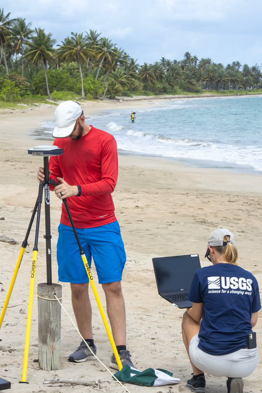 Two US Geological Survey scientists set-up equipment to survey a beach in Dorado, Puerto Rico. This equipment will monitor how the beach and shoreline change through time. (Image credit: USGS)
The new capability uses a combination of observational and modeled data to address nearly all of Puerto Rico’s coastline, excluding sections with dense plant life. Aerial 3D mapping data and information on ocean waves provided additional information to help USGS scientists create probable coastal change scenarios for hypothetical storms ranging from Category 1 to 5 hurricanes.
This new information for Puerto Rico covers three unique forms of coastal change: erosion, which is the loss of sand or sediment from the coast; overwash, when waves overtop barriers and push sand or sediment inland; and inundation, when waves consistently submerge dunes or other barriers leading to inland flooding. These effects can cause long-term environmental damage, destruction of property and infrastructure, contamination of drinking water and more.
Coastal change along Puerto Rico’s coastline can be influenced by coral reefs, rocky shores, and dense plant life, which can affect waves as they approach the shore. For example, coral reefs provide coastal communities some protection from waves by reducing wave energy as the waves travel over the rough surface of the coral and begin to break over the reef. These additional factors can make the process of predicting coastal change more complex than on sandy beaches. This complexity led to the additional time needed to produce these forecasts for the island’s coast.
“After Hurricane María, USGS experts worked for many years on this project, and we are very excited to bring this new capability to communities in Puerto Rico in an accessible and usable way,” said Torres-García.
The coastal change scenarios were developed in partnership with the University of Puerto Rico at Mayagüez and the Caribbean Coastal Ocean Observing System.
The new capability can be found on the USGS Coastal Change Hazards Portal. To view the probability of coastal change from extreme storms, follow these steps. Click Extreme Storms > Coastal Change Forecasts > Hurricane Scenarios. There, you can choose to see the probabilities based on a specific category of storm, as represented by three lines shaded in a red spectrum, and can narrow your view further based on a specific type of change, etc. For a closer look, the map allows you to zoom in to any location.