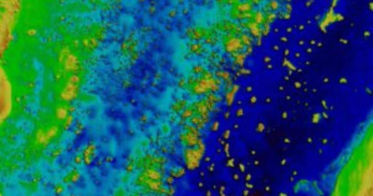
Starting 2022, EOMAP will deliver high-resolution shallow water grids from SDB technology to UKHO, with the first survey covering the waters of Belize. This survey will be the first complete survey of some of these waters, including where uncharted coral pinnacles are currently noted on the chart.
“The UKHO is pleased to be continuing our partnership with EOMAP, leveraging cutting-edge survey technology like SDB to supplement existing hydrographic surveying and related charting products. SDB adds significant value and cost-effectiveness when surveying difficult-to-access areas of the ocean, while minimising the impact on the marine environment”, says Ian Davies, International Hydrographic Portfolio Manager, UKHO.
“It’s a pleasure to complement UKHO’s survey capabilities. We are already working on the first engagement: Mapping Belizean waters covering an area of 9,000 square kilometres”, explains Knut Hartmann, COO of EOMAP. “For us, this contract is a proof of trust in the quality of our satellite analytics. Moreover, it shows that our SDB technology is a must-have in the toolbox of modern hydrographers and surveyors, when it comes to mapping shallow waters.”
In 2015, EOMAP was selected as the first-choice provider by UKHO for the first time. Within this framework contract, their satellite analytics had been included in the ADMIRALTY Navigational Chart 2066 of Southern Antigua, Caribbean. In addition to surveyors and hydrographers, coastal zone managers, planners and engineers all over the world value these shallow water grids for their work.

