Fisheries research comprises a wide range of research and sampling methods, including using commercial and recreational survey data or employing hands-on practices like seining, trapping, trawling, or electrofishing. But what about geographic regions lacking ocean observing infrastructure, zones of conflict, and remote locations obstructed by ice?
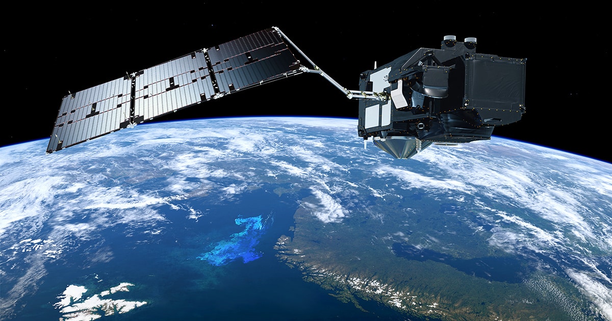
Insert remote sensing, the science of detecting and monitoring physical characteristics of an area using information acquired by aircraft and satellites. Remote sensing enables researchers to observe and measure marine conditions spanning biological, physical, and chemical extents without physically having to sample the area.
Specific parameters—including but not limited to ocean color, temperature, clarity, current speeds, and wave heights—can be observed and applied to answer questions pertaining to ocean phenomena.
Connecting the Dots
Speaking exclusively to ECO Magazine, Dr. Fatma Jebri, a marine physics and ocean climate Senior Research Scientist at the National Oceanography Centre (NOC) in Southampton, UK, shared her experience using remote sensing to investigate fisheries conditions in Somalia, which lacks ocean observing infrastructure and faces challenges with local piracy that limits in-field expeditions. Her recent research, “Absence of the Great Whirl giant ocean vortex abates productivity in the Somali upwelling region,” published in Nature’s Communications Earth & Environment, was aimed at understanding the role that one of the largest global ocean eddies, the Great Whirl, plays in the biological response of the Somali upwelling, which is the world’s strongest seasonal upwelling.
“One of the main motivations behind this research is that the Great Whirl has been extensively studied from a physics point of view, but less so when it comes to its biological impacts on the Somali upwelling system, which supports a rich and abundant fishery of which East Africa heavily relies upon for protein uptake,” said Jebri. “If we understand the role of stressors to the upwelling system, like the abrupt changes in ocean eddies such as the Great Whirl, we can better plan for future low productivity scenarios that impact countries worldwide, like Somalia, that suffers from alarming food insecurity.”

Ocean upwelling along the Somali coast as seen by the Sentinel-3 satellite ocean color sensor and overlayed chlorophyll-a on June 2, 2021. (Image credit: NASA Worldview)
For this research, the collaborators used 25 to 43 years of observation data and several powerful statistical techniques to try and robustly detect regime shifts in the time series. Overall, the study unveiled that the Somalia upwelling—traditionally characterized as attracting commercially lucrative tuna and other migratory commercially viable species—has been diminishing, in terms of winds and productivity, over the past two decades by about 10%. They also found that an abrupt decrease in upwelling productivity detected around 2006 coincided with an increase in overall downwelling—sinking of surface water that can lead to a decrease in ocean productivity.
“The main reason we found is that the Great Whirl has been getting weaker and even less present from around 2006 that, in turn, allowed other smaller eddies to generate a stronger downwelling than what was caused by the Great Whirl itself, which was a quite counter-intuitive and very surprising result,” Jebri commented. Jebri notes that the findings are important for predicting and managing future low-productivity scenarios that could impact commercial fish stocks and regional food insecurities.
Technology at the Precipice
Recent and upcoming satellite missions are equipped with new technology that enables remote sensing data to be higher resolution with less contamination, like land contamination, therefore improving researchers’ ability to assess questions.
Remote sensing, paired with in-situ oceanographic measurements, can force multiply research outcomes and widen the overall understanding of fisheries productivity trends, an opportunity that Jebri sees pivotal to accelerating ocean science: “In terms of synergy, the exponential use in the recent years of artificial intelligence (AI) techniques and neural networks will likely lead to an improved combination between satellite and the in-situ measurements, which will very likely lead to improved sampling of the ocean at depth—we are not far from that era.”
Jebri’s current research includes investigations into marine cold spells and their potential to offset and offer refugia for marine species from severe warming. Jebri also teased upcoming research which aims at developing a machine learning and AI-based early warning system for detecting rapid biophysical changes in the North Atlantic.
To learn more about the ongoing research at the NOC, visit: https://noc.ac.uk
This feature appeared in Environment, Coastal & Offshore (ECO) Magazine’s 2024 Summer edition Fisheries & Aquaculture, to read more access the magazine here.
