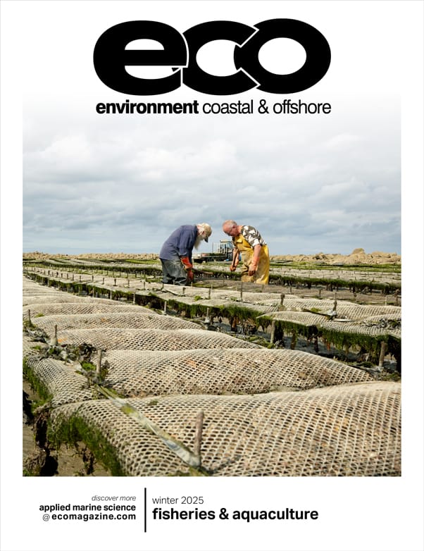
CO-OPS is collaborating with NOAA’s US Integrated Ocean Observing System (IOOS) Office to develop and provide services that address resilience needs and priorities at the local to regional scale. To this end, IOOS is supporting development of a Coastal Water Level Observations Community of Practice (CoP) to expand its traditional reach of the collection and dissemination of water level information. The CoP will be composed of IOOS Regional Associations (RAs) and their partners and stakeholders. The goals of the CoP are to develop common water level collection practices, establish an overall data management system for these water level observations, and develop and share data analysis tools to quality control water level data and create tidal products that facilitate national-scale data interoperability.
CO-OPS’ involvement with the CoP will help guide development and standardization of best practices to maximize the collective value of water level observations at multiple scales and enable targeted training of those practices to ensure that data collected by CoP partners can be incorporated into a national network of observations. CO-OPS is building its capacity to identify technical assistance needs and develop and deliver targeted training to meet those needs. CO-OPS requires scientific and technical support services to participate in and help guide CoP activities, gather training requirements, and develop and deliver targeted training materials that can be used by a broad group of water level observation practitioners. If you are looking to be an instrumental part of a growing, employee and customer-focused company working on exciting issues in environmental science and other marine/coastal resources, we want to hear from you!
Key Responsibilities:
- Actively participate in meetings of the Coastal Water Level Observations CoP, document meeting outcomes and stakeholder training needs, and submit these to the task manager quarterly.
- Develop an initial syllabus of existing on-line training options (from both CO-OPS and the National Geodetic Survey (NGS)) that RA staff and members of the CoP should complete prior to engaging in CoP activities.
- Develop virtual training modules for at least two existing NOAA products (e.g., Sea Level Rise Viewer, Coastal Inundation Dashboard, Tidal Datums Calculator, Inundation Analysis Tool), as guided by CoP outcomes and priorities.
- Support the development of standard operating procedure documentation regarding relevant topics identified by the CoP, which may include: selecting a water level sensor; siting a sensor; mounting, deploying, and maintaining sensors; survey methods and vertical control standards; data management and dissemination best practices; procedures for establishing a consistent QA/QC system that follows QA/QC of Real-Time Oceanographic Data (QARTOD) guidelines, and processing of water level data and development of downstream products (e.g. tidal datums, harmonics, inundation statistics).
- Through CoP activities and in alignment with CoP-defined priorities, assist with the development of two or more new training modules on the topics identified above. The training will be iterative, and adapted to meet needs identified through stakeholder feedback.
Specific task requirements may include, but are not limited to:
- Provide reports detailing compiled stakeholder water level training requirements, based on CoP workshops and virtual technical meetings. The reports shall be submitted on a quarterly basis to the Task Manager.
- Syllabus of existing on-line training options (from both CO-OPS and NGS).
- Complete two training modules for existing NOAA products, to be determined by CO-OPS at a later date, based on outcomes and priorities of the CoP. Training Modules may be presentations in PowerPoint or Google Slides, story maps (with or without GIS), short video presentations, or similar formats.
- Develop two or more new trainings based upon CoP-defined training priorities The trainings will be iterative and adaptive based on CoP outcomes.
- Contribute to the development of, and ensure CO-OPS technical contributions are captured in CoP standard operating procedure documentation related to water level sensor choice, sensor siting, mounting, deployment, and maintenance; survey methods and vertical control standards; data management and dissemination best practices; procedures for consistent QA/QC system following QARTOD guidelines and processing of water level data as guided by CoP outcomes.
Salary: This is a full-time position. Wage range is $38.32 to $43.32 hourly. Overtime is not anticipated. Comprehensive benefits package.
Location: Telecommute to Silver Spring, MD (preferred) or remote.
Application deadline: February 28, 2025
Required Skills /Education/ Certifications & Qualifications:
- Master’s degree in some combination of communications, stakeholder engagement, and marine policy with knowledge or experience in oceanography, geodesy, or marine science or a closely related discipline and two years of relevant experience (Preferred), or a Bachelor’s degree and six years of experience relevant to the position, or 12 years of experience relevant to the position.
- Must be proficient in using the Microsoft Windows operating system, Microsoft Office applications, and Google’s Collaboration Suite (e.g., Docs, Sheets, and Slides) for analyzing data and developing and editing documents and presentations.
- Strong oral and written communication skills, as well as a demonstrated ability to work well independently and as part of a team, are required.