
Satellite imaging has worldwide coverage and is, therefore, the primary source of data for marine weather forecasts. However, satellites have low resolution because they are 500–22,000 miles above in space and even with supercomputers, government weather agencies can only generate a new worldwide forecast every six hours.
An Aged Method
The satellite weather data set is created in GRIB (GRIdded Binary) format. Displaying the data points on a grid makes it easy to draw contour lines between different weather zones. However, the GRIB weather cells are large and assume that the wind is uniformly the same everywhere within the cell.
The models only forecast what the large-scale “gradient wind” will be (e.g., the wind caused by geographic variations in air pressure and the Coriolis effect). But the wind you experience is also affected by local convection—when the air is warmed up and rises, air from elsewhere flows in to replace it. These local sea breezes can be precisely measured with wind sensors. In a SailTimer study, we investigated the accuracy of coarse GRIB satellite forecasts for predicting wind direction and whether better data sources are now available.
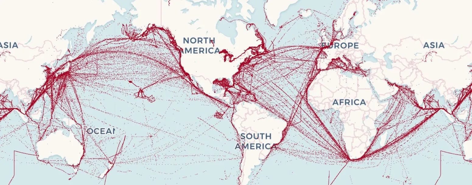
Before connected sensors were commonplace, the World Meteorological Organization worked with ports to recruit ships to report weather observations at sea. NOAA has crowdsourced data available from ships offshore. This data is in near real time (for the most recent hour) and can provide a good test of the accuracy of the GRIB satellite forecast versus actual measurements from ships offshore.
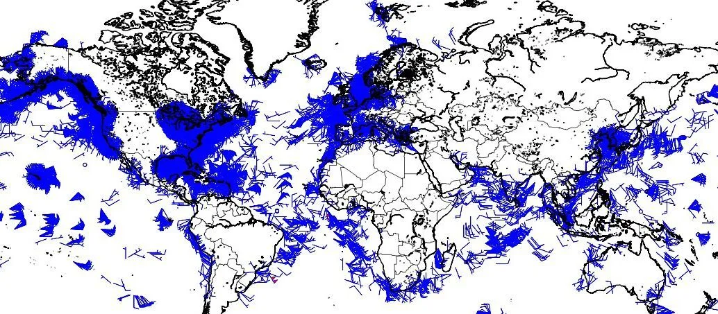
These wind measurements on ships have a resolution of 0.1 degree (six nautical miles). That creates cells of 6 x 6 = 36 square nautical miles. This is not precise, probably for security and competition reasons, but it is sufficient for our purposes since it exceeds the resolution of the GRIB satellite weather forecast. Through July 2024, 50,883 wind measurements on ships worldwide were publicly available from NOAA. The Mean Absolute Error is based on difference scores between the ship measurement of actual wind direction versus the GRIB satellite forecast for that location. The GRIB satellite forecast for wind direction was found to have a large average error of 35 degrees (in either direction). And 68% of the ship measurements (1 standard deviation) are only within 40 degrees of that.
Integrating Observations
One of the problems with NOAA’s real-time wind measurements on ships is that the wind direction is inexplicably rounded to 10 degrees. We, therefore, moved to a larger NOAA dataset where the wind direction is reported in single degrees. This larger data set includes wind measurements from ships, drift sensors, weather buoys, lightships, coastal weather stations, and fixed platforms/rigs. This data set has about 5,000 data points per hour.
We tested wind direction in the GRIB satellite forecast against 103,321 actual wind measurements on ships worldwide within one 24-hour period on July 2, 2024. The results with this data set were the same, showing that the GRIB satellite forecast is shockingly inaccurate when compared to measurements from ships offshore. The mean absolute error in forecasted wind directions is +/-35.4 degrees (a range of 70 degrees!). The mean absolute error for wind speed, which has a smaller scale, is +/-3.3 knots (a range of 6.6 knots). A wind sensor with an average 70-degree range of error could never be sold. But that is what ships have to navigate with.
Accuracy decreases even more when the forecast is further into the future and where wind flows around landforms in coastal and harbor regions. GRIB weather forecasts are so unreliable that ship captains often don’t trust voyage optimization software. However, if they use the traditional strategy of “Sail fast, then wait” at ports, the ship cannot reduce its fuel costs and greenhouse gas emissions.
Harnessing Source Data
In the new era of emissions grading and carbon taxes for ships, voyage optimization is the future of ship navigation. Unlike changing engines to avoid fossil fuels, voyage optimization can be used now with no up-front costs. But only if accurate data is available. Even the best voyage optimization software in the world is only as good as its data.
There are thousands of ships offshore at any one time, all equipped with wind sensors waiting to be utilized. Maritime wind forecasting is on the cusp of a transformation, primed for moving away from inaccurate predictions using satellite image processing to weather maps that are updated in real time with crowdsourced data.
More Info at: https://www.sailtimer.co
This feature appeared in environment coastal & offshore (eco) magazine’s 2025 summer edition Rethinking Offshore Operations, to read more access the magazine here.
