NOAA Installs Upgraded Water Level Station at Bob Hall Pier in Corpus Christi

NOAA celebrated the installation of the new National Water Level Observation Network (NWLON) station at the Bob Hall Pier in Corpus Christi, Texas, during a ceremony on November 17, 2026. The station collects data including real-time water levels, wind speed and direction, air and water temperature, and barometric pressure. The pier was heavily damaged by Hurricane Hanna in 2020, and the previous station was removed when pier demolition began in 2022. The new installation features upgraded sensors and an elevated platform built to withstand coastal flooding and storm surge.

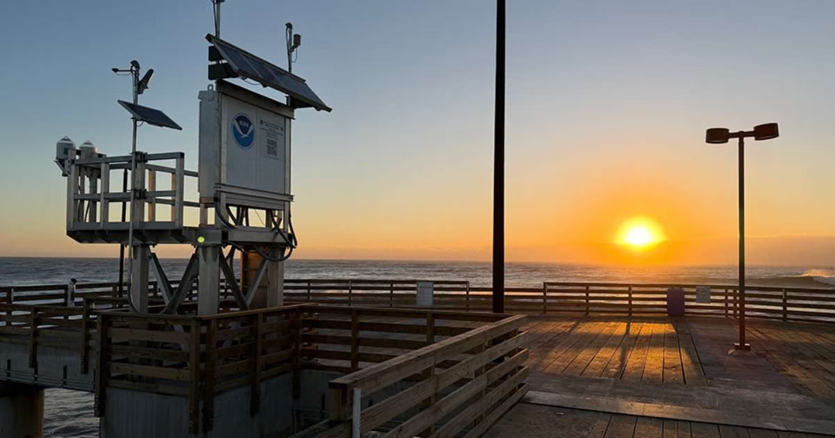
The sun rises over Bob Hall Pier in Corpus Christi, Texas on November 17, 2026. In the foreground is the new National Water Level Observation Network station, which collects data like water levels, meteorological conditions, and water temperature. (Image credit: Robert Hyatt, NWS)

Data collected from this new station supports a range of users in the local community, including:

  • NOAA’s local National Weather Service offices use the data to support forecasting and validate weather models
  • Commercial mariners rely on the information for safe and efficient navigation
  • Emergency managers access the data for storm preparedness and response
  • Coastal, floodplain, and resource managers leverage the data to support flood planning and mitigation efforts
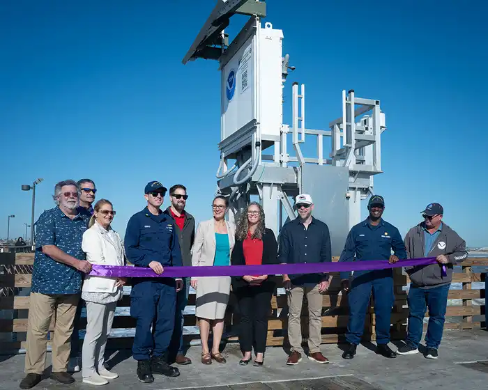
NOAA staff, regional partners, and stakeholders perform a ribbon-cutting ceremony at the new water level station on Bob Hall Pier in Corpus Christi, Texas on November 17, 2026. (Image credit: Robert Hyatt, NWS)

The Bob Hall Pier station is part of NOAA’s NWLON, a national system of over 200 highly precise, long-term water level stations along US coasts, including the Great Lakes and territories. This station is one of eight along the Texas coast. Data from this station is incorporated into a suite of NOAA coastal flooding products that support communities, including the Coastal Inundation Dashboard, Monthly High Tide Flooding Outlook, and Annual High Tide Flooding Outlook.

This article was originally published here: https://oceanservice.noaa.gov/news/nov26/texas-water-level-station.html
latest edition

From Arctic sea ice to the North Sea to the waters offshore Louisiana, applied marine science is looking beneath the surface, testing which new observing technologies earn the trust needed for wider adoption, and what it takes to turn ambitious science plans into safe and reliable work practices in marine environments.

got marine science news?

Send us your latest corporate news, blogs, or press releases

Search