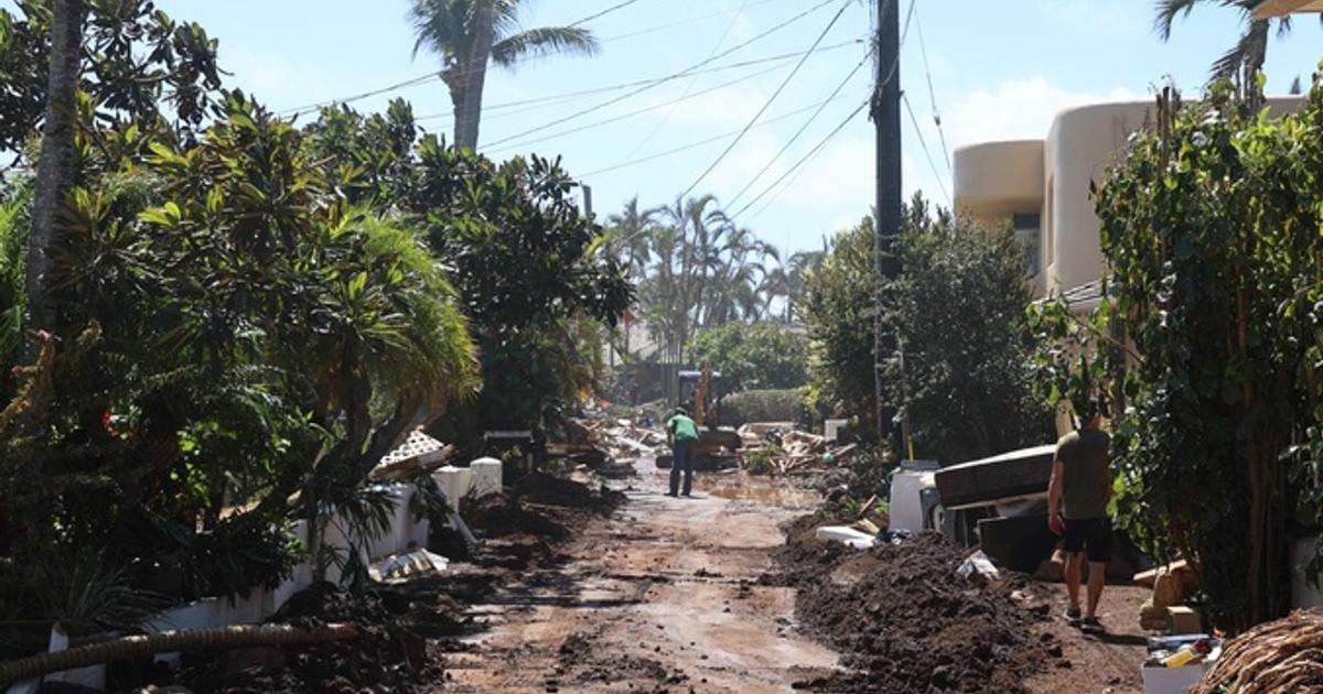
To understand the storm’s full impact, a University of Hawaiʻi team reconstructed Hurricane Lowell hour by hour across Kauaʻi and the state using observations from the Hawaiʻi Mesonet, a statewide network of weather stations, alongside experimental high-resolution mapping tools. Users can visit a newly launched Hurricane Lowell website to explore interactive wind and rainfall maps, station observations, and satellite storm replays.
The site features interactive graphics that allow users to follow Lowell’s winds and rainfall through time, compare ground station observations with mapped estimates, and replay the storm using Hawaiʻi Mesonet measurements integrated with Geostationary Operational Environmental Satellite-West satellite imagery. It also references information from Pacific Islands Ocean Observing System (PacIOOS) on the significant coastal hazards brought by the storm. Large surf and storm surge impacted south- and west-facing shores of Kauaʻi as the hurricane tracked to the west.
Originally published by University of Hawaiʻi News