The project is led by Chris Long and Mitch Rider of the Rosenstiel School of Marine, Atmospheric, and Earth Science’s Cooperative Institute for Marine and Atmospheric Studies (CIMAS). It is supported by a grant from the Florida Sea Turtle License Plate Grants Program, which funds research, conservation, and education initiatives benefiting Florida sea turtles.
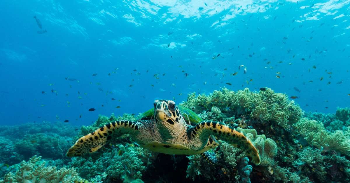
Sea turtles in Miami-Dade County face an elevated risk of injury or death from vessel strikes, particularly in Biscayne Bay, where high numbers of turtles and boaters share the water. Conservation and outreach efforts are limited by a lack of detailed information about where and when turtles are most vulnerable.
During fieldwork completed in late August, the researchers fitted five loggerhead sea turtles with high-resolution Fastloc GPS tags capable of recording depth. The instruments will provide information about the turtles’ movements, habitat use, and the amount of time they spend near the surface, where they are more exposed to passing vessels.
Researchers will combine the new tracking information with existing turtle telemetry provided by project partners, previous aerial surveys of vessel density, and high-resolution vessel-tracking data from Global Fishing Watch. The team will use these data to develop models showing how vessel-strike risk changes across locations and over time.
The resulting risk maps could help guide targeted measures to reduce vessel strikes and strengthen outreach to boaters about practices that can help prevent sea turtle injuries. Model development is expected to continue through early 2027.
Project partners include the NOAA Southeast Fisheries Science Center’s Marine Mammal and Turtle Division, the US Geological Survey, and Nova Southeastern University. The Sea Turtle Grants Program is funded through a portion of the revenue generated by Florida’s Sea Turtle Specialty License Plate.
All fieldwork was conducted under NMFS permit 21233, MTP-25/26-030B, and BISC-2024-SCI-0019.