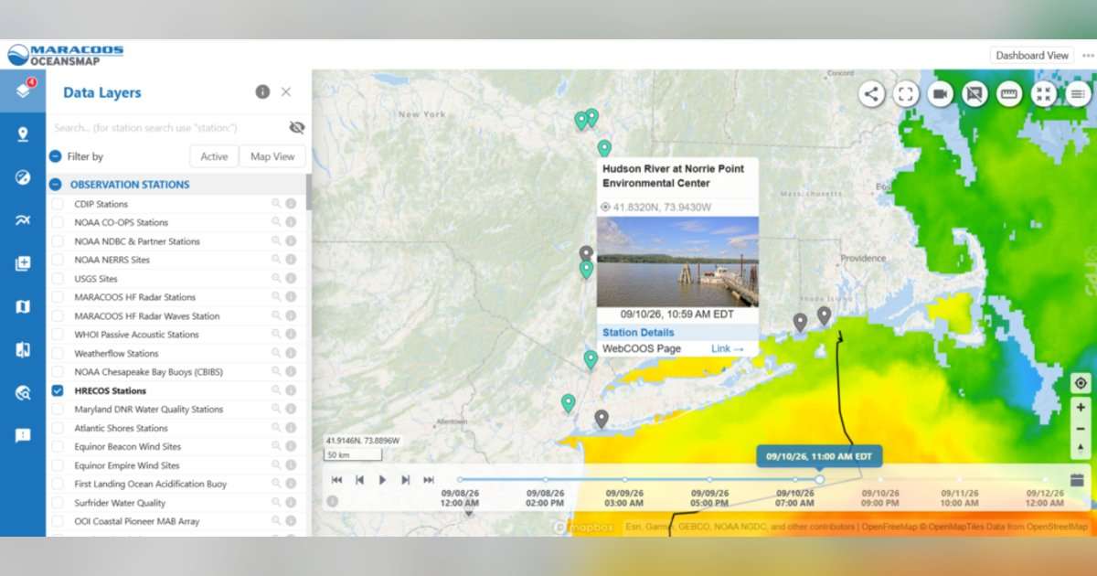
This effort is in partnership with the national Integrated Ocean Observing System (IOOS) and their regional branch, the Mid-Atlantic Regional Association Coastal Ocean Observing System (MARACOOS), the Hudson River Pilots, and the New York State Department of Environmental Conservation (NYSDEC). HRNERR consists of four tidal wetland sites and is operated as a partnership between the NYSDEC and the National Oceanic and Atmospheric Administration.
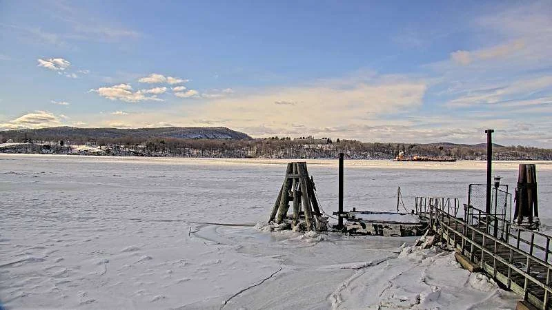
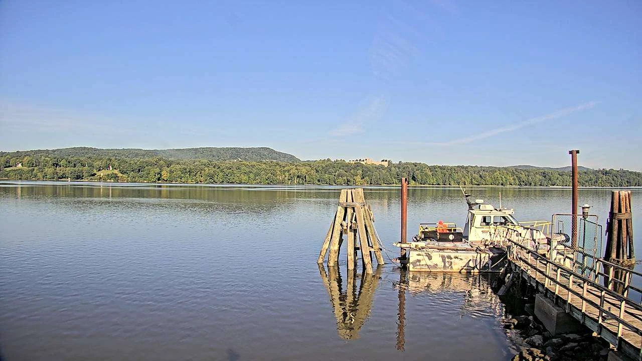
The camera takes a snapshot of river conditions every 30 minutes, 24 hours a day, providing visual data for coastal management and river navigation. WebCOOS data are used by environmental managers, public safety and health officials, and weather forecasters in a variety of ways. For example, the images and videos can provide coastal information on beach erosion, flooding, rip current detection, and beach and river usage to ultimately inform decision-making.
The Hudson River webcam is the only estuarine camera of the four in New York. Located 84 miles upstream from the mouth of the Hudson River, the camera was originally installed for river pilots who guide vessels to the ports along the river, with Norrie Point as a halfway station.
This article was originally published here: https://neiwpcc.org/2026/10/14/hudson-river-program-joins-web-camera-observation-network/