This project marks the application of Autonomous Underwater Vehicle (AUV) technology for PETRONAS Carigali’s ultra-deepwater geohazard site survey supporting development activities. The deployment of AUV technology facilitated critical geohazard assessments and engineering studies, contributing to the safe and efficient development of offshore development activities.
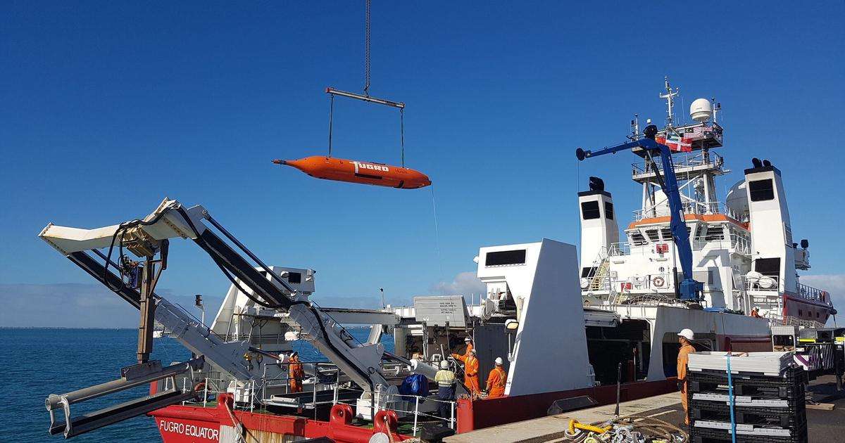
Fugro deployed its Echo Surveyor 8 AUV from the Fugro Equator. Operating close to the seabed, the AUV acquired high-resolution bathymetric, geophysical, and shallow subsurface data to support geohazard assessment, engineering design, and field development planning. This project was supported by Fugro’s Kuala Lumpur Remote Operations Centre (KLROC), which provided continuous data quality control and processing to meet demanding project timelines. The offshore campaign commenced in June 2026 and was successfully completed in August 2026.
Safri Drahman, Regional Business Line Director, Marine Site Characterisation APAC at Fugro, said: “Our collaboration with PETRONAS Carigali allows us to push the boundaries of how offshore projects are delivered. By integrating advanced technologies with real-time remote operations, we are enabling faster insights and more efficient execution. This project highlights Fugro’s continued innovation and our ability to deliver high-impact solutions through our strong footprint in Asia Pacific.”