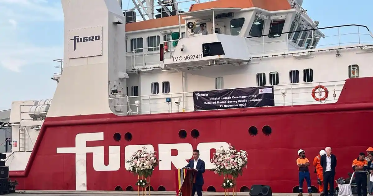
During the visit, Prime Minister Kay Rala Xanana Gusmão, accompanied by government and parliament representatives, toured the survey vessel and was introduced to Fugro’s advanced technologies and offshore capabilities. The survey will provide critical geo-data on the seabed, ground conditions, and marine environment along the possible pipeline route, helping inform decisions on routing, engineering design, geohazards, and safe execution of future offshore operations.
The Detailed Marine Survey will support the Greater Sunrise Gas Export Pipeline from the Greater Sunrise field to Timor-Leste for the TNG development planned at Natarbora on the south coast of Timor-Leste, and the Bayu-Undan Pipeline Highway to Natarbora. This forms part of a wider offshore site characterization program awarded by Timor-Leste’s Ministry of Petroleum and Mineral Resources (MPRM) covering geophysical, geotechnical, and metocean surveys. The program extends from shallow coastal waters into challenging deepwater areas of the Timor Trough, reaching approximately 3,000 meters.
Loo Luh Shyang, Group Director, APAC at Fugro, said: “We are honored to welcome Prime Minister Kay Rala Xanana Gusmão to mark this important milestone. Major infrastructure decisions start with understanding the conditions in which we are working. By combining our deepwater expertise, advanced technology and Geo-data capabilities, we are providing the insights needed to make those decision with confidence. It is a great example of how, together, we create a safe and liveable world.”