Marelia brings together tools developed through six years of live offshore production. Created to address practical gaps in existing workflows, these tools previously lived in individual scripts, projects, and specialists’ working practices. The platform brings them into one structured, controlled environment and makes automation used daily by Hidrocibalae’s own teams available to the industry.
“Whatever you make more efficiently, you cannot lose the quality. You need to be sure,” said Dino Dragun, Founder and CEO of Hidrocibalae. “From the start, I was strict that we document everything we do, every new idea and every new piece of knowledge. Marelia by Hidrocibalae puts all of that into one platform, so our people use it every day and we can see how it evolves.”
Marine geophysical processing involves repetitive, high-volume tasks that consume substantial specialist time. Even when commercial software handles much of the workflow, teams often complete the remaining steps manually or rely on internal scripts. Based on Hidrocibalae’s production experience, a processor working manually detects around 400 objects in an eight-hour day. At that rate, a survey containing 10,000 boulders requires approximately 25 processor-days of manual detection.
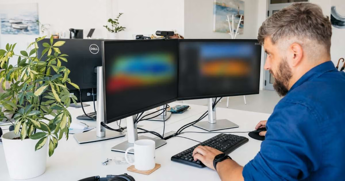
Marelia automates structured, repetitive work of this kind, helping teams process large datasets more efficiently and giving specialists more time for quality control and interpretation. Results load into a built-in map viewer, where the operator reviews them and retains final judgment.
The platform works alongside the processing software teams already use, accepting data through standard exports. At launch, it offers four commercial modules: Core Geoprocessing Engine, MBES Interpretation, SSS & SAS Interpretation, and Sub-seabed Interpretation. It runs on the operator’s own machine and processes data locally, without uploading it. Client data stays within the client’s environment, while Hidrocibalae retains ownership of its underlying tools and intellectual property.
Alongside the platform, Hidrocibalae’s experts remain available for quality control, interpretation, and additional processing capacity. Teams can request a demonstration using their own dataset at marelia.eu or by contacting hello@marelia.eu.
Additional modules are planned for 2027, covering seabed mobility monitoring, magnetometer interpretation, pipeline eventing, and automated exports.