The campaign will support the Greater Sunrise Gas Export Pipeline from the Greater Sunrise field to Timor-Leste for the TLNG development planned at Natarbora on the south coast of Timor-Leste, and the Bayu-Undan Pipeline Highway to Natarbora. Together, the surveys will provide a comprehensive understanding of seabed and subsurface conditions along the proposed corridors to inform route selection and future engineering.
The six-month geotechnical and the 12-month metocean survey field work is planned to commence in the first quarter of 2027, following the geophysical work in the third quarter of 2026.
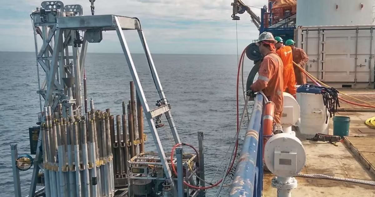
The program combines Fugro’s technology with the geotechnical Seafloor Drill and SeaScout 35 MKII Cone Penetration Testing (CPT) systems to collect critical ground intelligence in the challenging ultra-deepwater environment of the Timor Trough, where water depths reach up to 3,000 meters.
The project will be supported by Fugro’s Remote Operations Centre in Kuala Lumpur, enabling real-time collaboration between offshore and onshore experts to enhance operational efficiency, quality assurance, and safe project delivery.
Safri Drahman, APAC Regional Business Line Director, said: “Winning the geophysical, geotechnical and metocean contracts reflects our ability to deliver fully integrated site characterisation solutions for complex deepwater developments. By combining our expertise with deepwater technologies, we can provide high-quality Geo-data and engineering insights to support informed decision-making, reduce project risk, and advance the Greater Sunrise and Bayu Undan developments in Timor-Leste.”