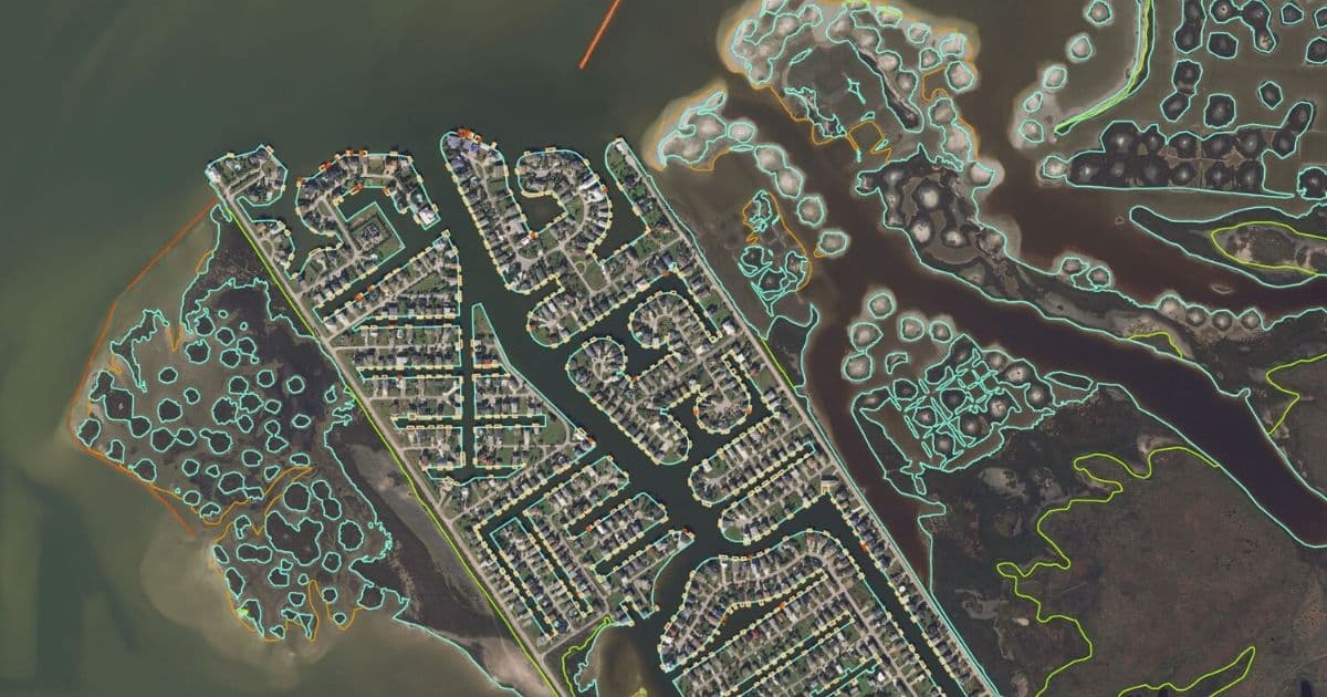
Issued through NOAA’s National Geodetic Survey (NGS), this multi-year contract is NGS’s second consecutive award to Fugro for services such as the provision of aerial imagery, topobathymetric lidar, and shoreline feature compilation. NGS uses these data to update NOAA nautical charts, define US territorial limits, support coastal management activities and perform inundation modelling.
“Fugro is proud to continue working with NOAA to update and improve the nation’s shoreline mapping needs,” said Edward Saade, President of Fugro in the US. “This work closely aligns with our NOAA hydrographic surveying services contract, which was awarded to Fugro last December. In both cases we are focused on using innovative technologies to streamline the delivery of high quality Geo-data while improving operational safety and significantly reducing our carbon footprint.”
The new shoreline mapping services IDIQ contract is active now and will run until 20 March 2025. Fugro is one of four contractors who will receive task orders under the programme. The total maximum value of work to be shared among all contractors is USD 40 million.
By Fugro