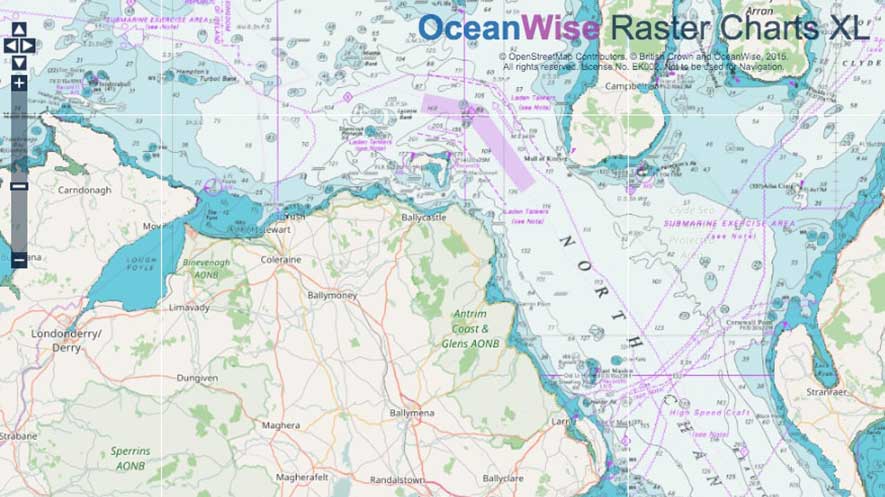
Aoibheann Rooney, from the Department of Agriculture, Environment and Rural Affairs (DAERA) in Northern Ireland, explains, “OceanWise provided everything we required and has a proven track record of offering excellent customer service and value for money. They were the only supplier able to provide nautical charts with the land area removed, so we are able to offer this in combination with more appropriate mapping from Ordnance Survey Northern Ireland”.
The agreement means that OceanWise is able to push ahead with further product enhancements, such as greater land-sea integration in collaboration with the UK’s land mapping agencies, OSGB and OSNI, and provide more of its data products as web services. For more information, visit oceanwise.eu.