UK Hydrographic Office Announces New Tender Opportunity for Lidar Survey of The Cayman Islands

The UKHO is looking to commission a Lidar survey of the Cayman Islands and its surrounding waters.

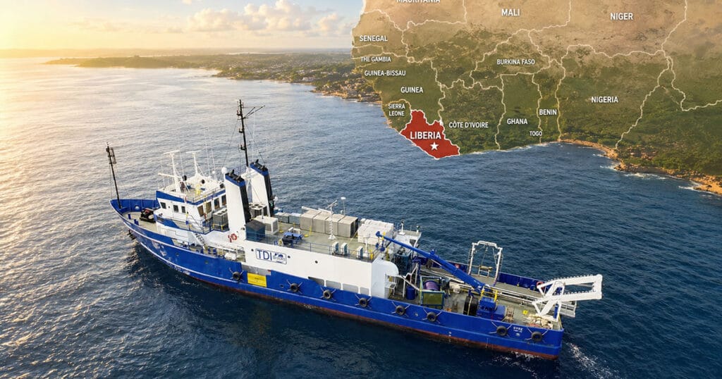
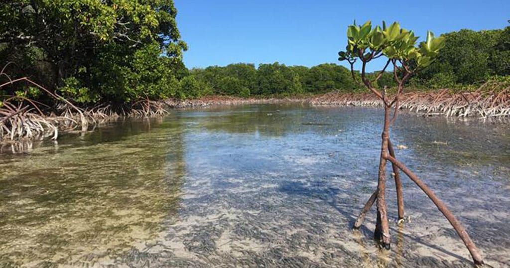
This work will form part of our Overseas Territories Seabed Mapping Programme, through which the UKHO collects valuable data to assist in updating navigational charts and publications, while supporting the management and protection of the marine environment. Through their hydrographic programs so far, they have commissioned 28 surveys and mapped 19,000km2 of seabed to support coastal states across the globe.

For more details on the tender and details on how to register your interest, click here.

latest edition
By translating complex ocean data into actionable strategies, the applied marine science community plays a pivotal role in ensuring the long-term resilience of coastal environments while bolstering the global Blue Economy.

got marine science news?

Send us your latest corporate news, blogs, or press releases

Search