This launch includes the SubC Drop Camera System (DCS) and SubC Tow Camera System (TCS), two complete end-to-end systems that combine imaging, lighting, recording, mounting, and data management into a single solution.
Instead of integrating and troubleshooting individual components, teams can deploy a purpose-built system designed and tested to work together from the start. That time-saving advantage continues throughout the entire survey workflow:
- Rayfin cameras capture high-resolution stills and 4K video for clear, reliable data. Metadata such as altitude, depth, GPS, and time are embedded directly into images, improving data alignment and reducing post-processing time.
- DVR+ software brings camera, light, and laser control, live event tagging, and automated timestamped data logging into a single interface for faster, simpler data collection.
- Field-tested Tow and Drop Frames eliminate weeks of design and integration so teams can mobilize sooner.
- ReviewStudio software streamlines post-dive review, event editing, data validation, and structured log exports to reduce manual work and accelerate reporting.
Together, this integrated hardware and software reduce time spent preparing equipment, managing data, and completing post-survey workflows. This gives teams more time to focus on collecting, analyzing, and acting on the seafloor data that matters.
SubC Drop & Tow Camera Systems
Two Systems for Different Survey Needs
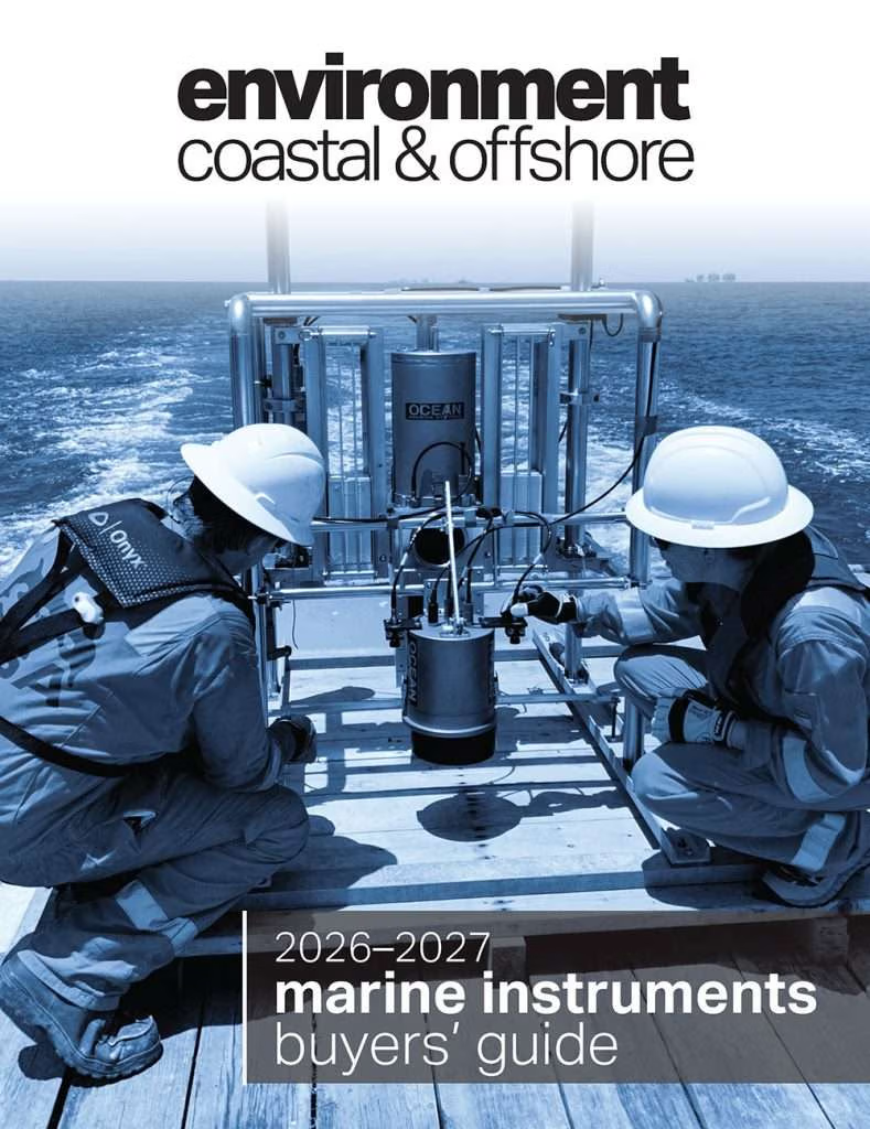
The Drop Camera System provides no-contact seafloor imaging for applications such as habitat assessment, coral reef monitoring, marine protected areas, and sensitive environments. Its compact, portable design also makes it well-suited to smaller vessels and ships of opportunity.
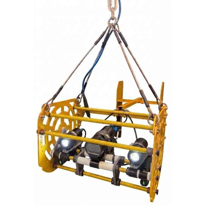
The Tow Camera System provides a stable, bottom-following approach for repeatable transects and monitoring programs. Consistent image collection can support habitat assessments, environmental monitoring, change detection, and long-term research.
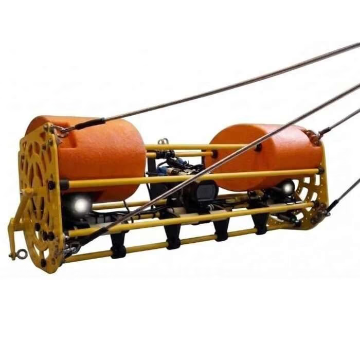
Together, the systems give teams the flexibility to choose the deployment method that best fits their survey objectives without having to build a system from the ground up.
Less Time Managing Data. More Time Capturing It.
The work doesn’t stop when a survey ends. Sorting footage, matching observations to timestamps, and organizing metadata can add days of manual work before analysis can begin.
SubC’s integrated workflow helps capture imagery, events, annotations, and metadata during the survey, cutting post-survey processing time by 50 percent or more, and preserving valuable context that makes data easier to review and manage afterward.
The result is a simpler path from deployment to data to decision-making, helping teams get more value from every survey.
“There’s a lot that goes into getting a survey system ready to go. You have to make sure all the components work together, test everything, and troubleshoot before you even get in the water. We’ve taken care of that upfront. These systems are built and tested as complete solutions, so customers can spend less time worrying about the equipment and more time focused on the survey itself.”—Chad Collett, CEO, SubC Imaging
Built for the Field. Ready to Deploy.
These Seafloor Imaging Systems are built for marine research, environmental monitoring, offshore surveys, and other underwater imaging applications, field-tested in conditions ranging from Newfoundland’s coastal waters to the Southern Ocean.
Organizations with existing equipment can also integrate SubC cameras, lights, lasers, and DVR+ into their current systems, providing clear data collection without replacing established infrastructure.