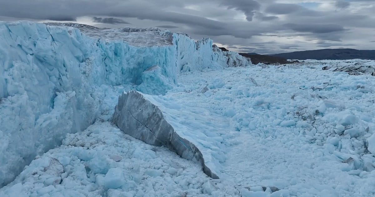
Now, researchers have published the first scientific findings from the landmark expedition—revealing how previously unmapped seafloor features may explain in part why the ice tongue of C.H. Ostenfeld Gletsjer disappeared while neighboring glaciers retained theirs.
The study focuses on C.H. Ostenfeld Gletsjer, one of three major outlet glaciers draining northern Greenland. While nearby Ryder and Petermann glaciers still retain floating ice tongues, C.H. Ostenfeld Gletsjer lost its ice tongue in the early 2000s—but the reasons for this difference have long remained unclear.
In 2024, an international team of researchers aboard Oden collected new bathymetric and oceanographic data from the previously unsurveyed fjord. The study found that warm Atlantic water is able to reach the margin of C.H. Ostenfeld Gletsjer through Victoria Fjord. Unlike neighboring fjords, Victoria Fjord lacks a shallow protective sill that helps limit the inflow of warmer water towards the glacier front. The findings offer new insight into why the glacier evolved differently from its neighbors.
Martin Jakobsson, Professor of Marine Geology and Geophysics at Stockholm University, Co-Head of Seabed 2030’s Arctic and North Pacific Ocean Regional Center, and one of the chief scientists aboard Oden, said: “For years, we have sought to better understand why C.H. Ostenfeld Gletsjer evolved so differently from neighboring glaciers. Reaching Victoria Fjord and collecting the first scientific data from this remote area gave us a unique opportunity to investigate that question.
“What makes these findings particularly exciting is that they show how features hidden beneath the ocean surface can influence what happens at the glacier front. It’s a powerful reminder of how much there is still to learn about the ocean and why mapping the seafloor matters.”
The expedition also produced the first detailed bathymetric measurements from Victoria Fjord. These newly acquired data have since been incorporated into updates of the International Bathymetric Chart of the Arctic Ocean (IBCAO), helping improve understanding of a previously unmapped part of the Arctic seafloor.
For Seabed 2030, the findings provide a powerful example of the value of ocean mapping. The shape of the seafloor influences how water moves through the ocean, including how warmer waters interact with glacier margins. By improving knowledge of the ocean floor, scientists can better understand processes that would otherwise remain hidden beneath the surface.