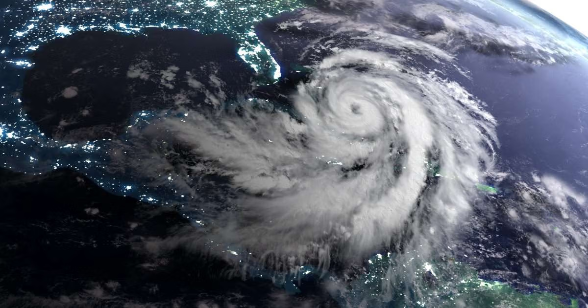
But how much the water rises depends on a mix of interacting factors: the storm’s intensity, size, and speed; the shape of the shoreline; and the timing of the tide. Rising sea levels add another layer of uncertainty, slowly weakening the bay’s ability to buffer storm surge and making its response harder to predict.
But in a new study, Virginia Tech researchers used process-based numerical modeling to explore how the Chesapeake Bay could respond to various kinds of tropical cyclones as sea levels rise over the next 25 years. By analyzing thousands of computer-generated storms, they were able to predict how extreme storms could affect different parts of the bay, helping communities better prepare for coastal flooding.
“The same storm could play out very differently by midcentury than it would today,” said Md Shadman Sakib, a doctoral student in civil and environmental engineering who led the project. “This study is a step toward understanding how and where that could happen.”
Using Computer-Generated Storms to Predict Hurricane Effects
The Chesapeake Bay is the largest estuary in the United States, stretching more than 200 miles from Maryland to its mouth in Virginia. More than 150 rivers and streams flow into the bay, which is connected to the Atlantic Ocean.
Its long, narrow shape and network of rivers, sounds, natural barriers, and smaller waterways affect how water moves through the system. Those geographic features also make the bay’s response to storms different from what might occur along an open coastline.
To study those responses, Sakib and the research team used the STORM synthetic tropical cyclone dataset to create computer-generated storms. The dataset represents 10,000 years of statistically generated storms, giving the researchers access to thousands of possible storm conditions. The team of researchers included:
- David F. Muñoz, assistant professor of civil and environmental engineering
- Jennifer Irish, Charles P. Lunsford Professor of civil and environmental engineering
- Thomas Wahl, professor of civil, environmental, and construction engineering at the University of Central Florida
“The storms that pose the greatest flood risk are rare in historical records,” said Sakib, who was recently selected for the inaugural WHOI/NASA Summer School in Sea Level Science. “Statistically generated synthetic storms let us test how the bay could respond to events it has not yet experienced.”
The researchers selected 90 representative storms that could affect the Chesapeake Bay. They then modeled those storms using a digital simulation tool that accounts for tides, winds, atmospheric pressure, waves, river flows, and the shape and depth of the bay.
The team also modeled four different sea-level conditions for 2050 based on projections from the Intergovernmental Panel on Climate Change, estimated to be between 13 and 21 inches (0.34 to 0.54 meters) at the Chesapeake Bay Bridge-Tunnel by 2050, with a predicted median sea-level rise of roughly 17 inches.
“Seventeen inches may not sound like much, but it raises the baseline for every storm,” said Sakib. “A storm that causes minor flooding today could cause serious flooding by midcentury, simply because it starts from higher water.”
When Tides and Storm Surge Interact
When tides, storm surge, and waves occur at the same time, they can work together to change the total water level in the bay. As a result, the total water level can be higher or lower than a simple sum of the tide, storm surge, and waves.
These effects are known as nonlinear interactions, and Sakib’s research examines how they vary throughout the Chesapeake Bay.
The researchers found that rising sea levels shifted these interactions toward higher water levels overall while reducing the effects of some nonlinear processes that tend to weaken storms by about 5 to 9 percent. “Sea-level rise raises the base water level directly, and on top of that, it weakens the bay’s natural ability to dampen storm surge,” said Sakib.
Land in the lower Chesapeake region is also sinking, so the bay is seeing faster sea-level rise than most coastlines. “If that continues, coastal communities could face higher and harder-to-buffer flood levels in the decades ahead,” noted Sakib.
Storm Intensity Matters Most
Storm intensity had the greatest influence on how water levels responded to hurricanes, especially in the lower Chesapeake Bay. The researchers found that interactions among tides, storm surge, and waves could either raise or lower water levels beyond what those forces would produce on their own. Stronger storms generally produced larger changes in the lower bay, while the upper bay was less sensitive to storm intensity.
Storm speed mattered, too. Strong, slow-moving storms produced the largest impacts, particularly within about 30 miles of the bay’s entrance, where water levels could vary by 3 feet.
The strongest effects in the lower bay generally occurred near the peak of the storm surge, around the time a storm makes landfall. Effects also extended into the James and York rivers, the eastern bay, and smaller tributaries.
The bay’s shape helps explain those differences. Its shallow areas, narrow channels, changing depths, and tributaries all affect how storm-driven water moves. “The Chesapeake is long, shallow, and shaped like a funnel, which controls how a storm plays out,” said Sakib.
In the lower bay, deeper channels and proximity to the ocean allow storms to retain more strength. Farther north, storms lose energy as they move inland. Rising sea levels could further change those patterns.
That means a hurricane could affect parts of the Chesapeake Bay very differently, even during the same storm.
That data may help researchers better understand the flooding that could come with future storms as sea levels rise. It also gives them a way to study how similar estuaries might respond to extreme storms—and help local communities prepare for what’s coming.