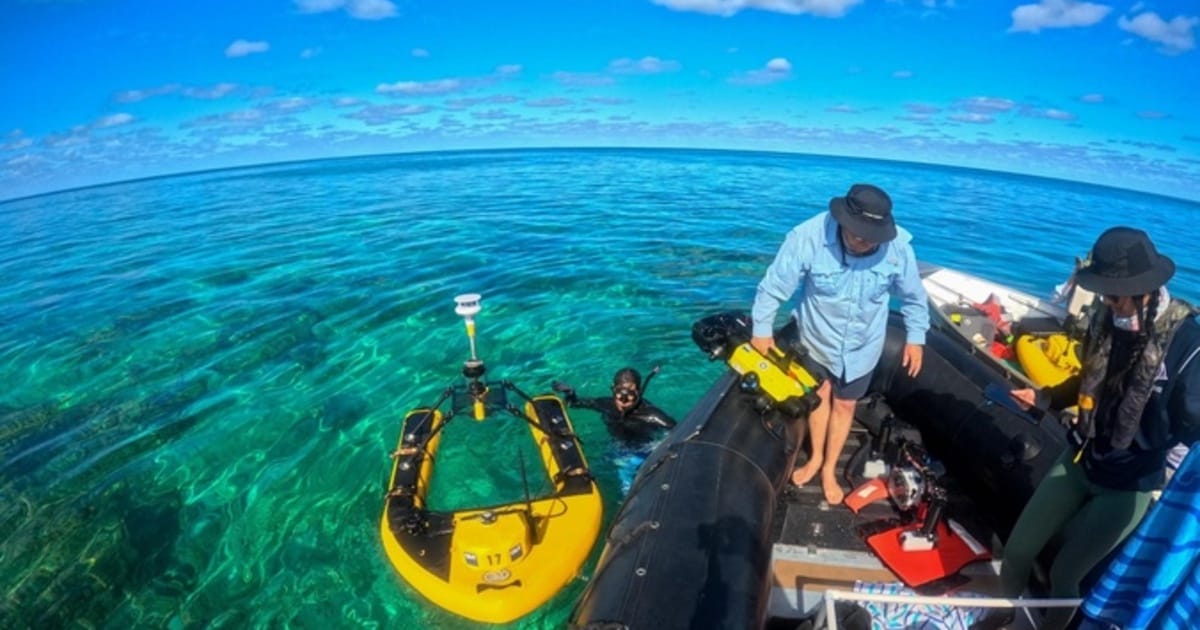
The research expedition took place June 12–July 3, 2026, on the RV Searcher, captained by Gillian “Gillyfish” Wysock, who also owns the vessel. This unique voyage was an international, interdepartmental, and federal collaboration that brought together UH Mānoa scientists, University of Hawaiʻi Marine Option Program (MOP) alumni, and other partners to utilize advanced autonomous systems for ecological surveys.
Shellie Habel, researcher with the CRC and the University of Hawaiʻi Sea Grant College Program, and Anna Mikkelsen, Earth Sciences doctoral student with CRC, led aerial mapping using the blue certified Wingtra drone, affectionately known as Mola Mola, to capture high-resolution aerial imagery of the entirety of Sand Island at Kuaihelani (Midway Atoll). This will be used to generate detailed 3D terrain models and orthomosaic imagery for flood mapping.
The team also evaluated shoreline changes at Tern Island and East Island of Lalo (French Frigate Shoals) to support research led by Sara Kahanamoku, SOEST assistant researcher, and Haunani Kane, Earth Sciences assistant professor. In addition to island mapping, the team conducted aerial surveys of shallow reef flats at Manawai (Pearl and Hermes Atoll), providing high-resolution imagery to support complementary ecological monitoring efforts of invasive algae.
Cruise participants also included Keolohilani H. Lopes Jr., MOP alumni and UH Mānoa Natural Resources and Environmental Management doctoral candidate; Jason Leonard, MOP alumni who is now with NOAA’s Office of National Marine Sanctuaries Papahānaumokuākea National Marine Sanctuary (PNMS); Jeff Kuwabara, MOP Coordinator on the UH Mānoa campus; and Matthew Dunbabin and robotics engineer Serena Reimers from Queensland University of Technology (QUT).
Together, these efforts reflect the expedition’s interagency character, linking Hawai’i Sea Grant and CRC’s coastal monitoring expertise directly to the ecological monitoring and robotics led by NREM, HIMB, and QUT.