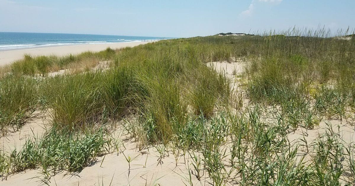
One of the most significant findings for the NOAA Effects of Sea Level Rise community is the role of functional traits. The study found that short-term storm response—namely, whether a dune accreted (gained) or eroded (lost) sand—was closely tied to specific plant characteristics as noted below.
- Plots with multiple plant species were more likely to trap sediment and resist erosion.
- Community-level metrics like stem density and vegetation height were key predictors of dune stability.
- Almost all study plots that eroded during the storm were either bare or contained only a single species.
While plants influence erosion and drive immediate storm response, the researchers found that site history—the beach and dune condition driven by long-term processes for a specific stretch of coastline—becomes the dominant factor over interannual scales (two or more years) with lower elevations experiencing greater erosion during storms.
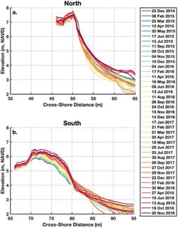
In the southern portion of the study area, a history of gradual seaward growth and high vegetation density created a self-reinforcing cycle of accretion. In contrast, the steeper northern dune with a history of frequent wave collision remained more vulnerable, even years after the storm.
Effectively managing dunes and other natural infrastructure can increase flood protection. This research offers three critical takeaways for coastal managers:
- Planting is important, as bare spots were most vulnerable to erosion, though restoration efforts should consider going beyond planting a single dominant grass species. This study suggests that mimicking natural, multi-species successional communities (including grasses, forbs, and shrubs like Iva imbricata) can enhance sediment trapping and storm resistance.
- Using metrics like species richness and community height, managers can better predict hotspots of potential erosion before a storm hits.
- Tailoring management interventions to each site rather than applying a one-size-fits-all regional approach is a must since dunes vary in their evolution, localized patterns, and the types of species present.
By integrating these ecological insights into numerical models, NOAA and its partners can better evaluate the vulnerability of coastal infrastructure and inform more resilient recovery efforts.
The final study is published in Estuaries and Coasts. The team was supported by NCCOS Effects of Sea Level Rise Program (NA19NOS4780175), which in part led to these findings. Project partners include the US Army Corps of Engineers Engineer Research and Development Center—Field Research Facility, Virginia Institute of Marine Science Coastal Geology Lab, and Virginia Commonwealth University’s Coastal Plant Ecology Lab.
This work is authorized by the NOAA Authorization Act of 1992, Pub. L. 102-567 (Oct. 29, 1992); sec. 201(c), which authorizes appropriation for the NCCOS Competitive Research Program to augment and integrate existing programs of NOAA, and shall include efforts to improve predictions of coastal hazards to protect human life and personal property.