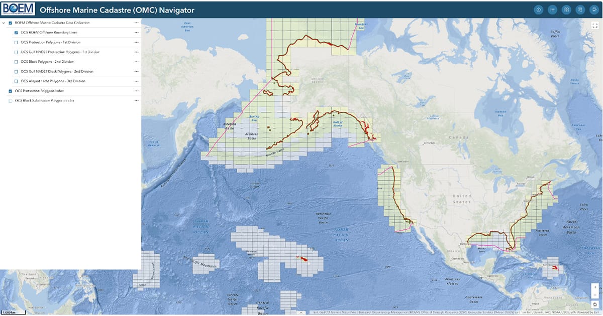
Now part of the National Geospatial Data Asset infrastructure portfolio, the OMC provides streamlined access to BOEM’s cadastral information through the BOEM ArcGIS Online platform. The data is also available on public sites, including Data.gov, Geoplatform.gov, and MarineCadastre.gov.
The national collection includes Protraction Polygons, NAD27 Gulf Protraction Polygons, Block Polygons, NAD27 Gulf Block Polygons, Aliquots 16ths Polygons, the Submerged Land Act Boundary, the OCS Lands Act “8(g) Zone” limit, and the Continental Shelf Boundary. These layers are provided as cartographic products for mapping purposes.
BOEM will update the dataset as new official mapping products are developed for areas offshore Alaska, the Pacific Territories, and the Atlantic Territories. Official Protraction Diagrams, Official Protraction Aliquot Diagrams, and Supplemental Official Block Diagrams remain the legal sources for official block areas and coordinates. These products are available through the Offshore Marine Cadastre Navigator application.