The Interior Department’s Bureau of Ocean Energy Management has announced the availability of revised North American Datum 1972-based Outer Continental Shelf Protraction Diagrams (OPDs) and two lease maps depicting the following geographic areas located in the Gulf of Mexico: Port Isabel, Alaminos Canyon, Keathley Canyon, Sigsbee Escarpment, Amery Terrace, Lund South, South Padre Island Area, and South Padre Island Area-East Addition. The update reflects the “Transboundary Three Statute Mile Line” provision that was included in the U.S.-Mexico Transboundary Hydrocarbons Agreement.
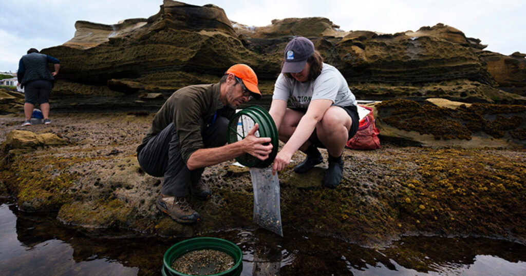
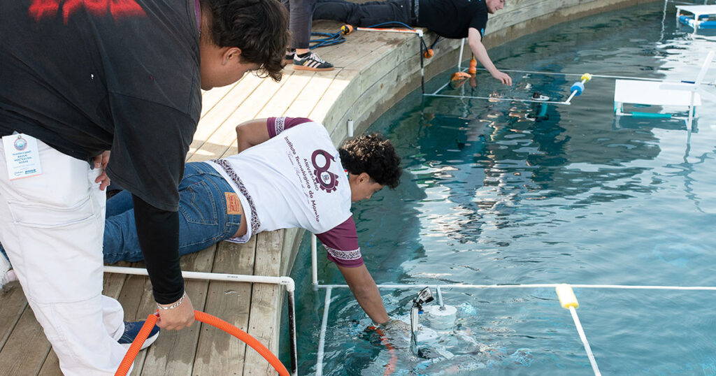
By translating complex ocean data into actionable strategies, the applied marine science community plays a pivotal role in ensuring the long-term resilience of coastal environments while bolstering the global Blue Economy.