The new study, published in Paleoceanography and Paleoclimatology, reconstructs how tides across the Patagonian Shelf have changed over the past 21,000 years, as melting ice sheets raised global sea levels and reshaped coastlines.
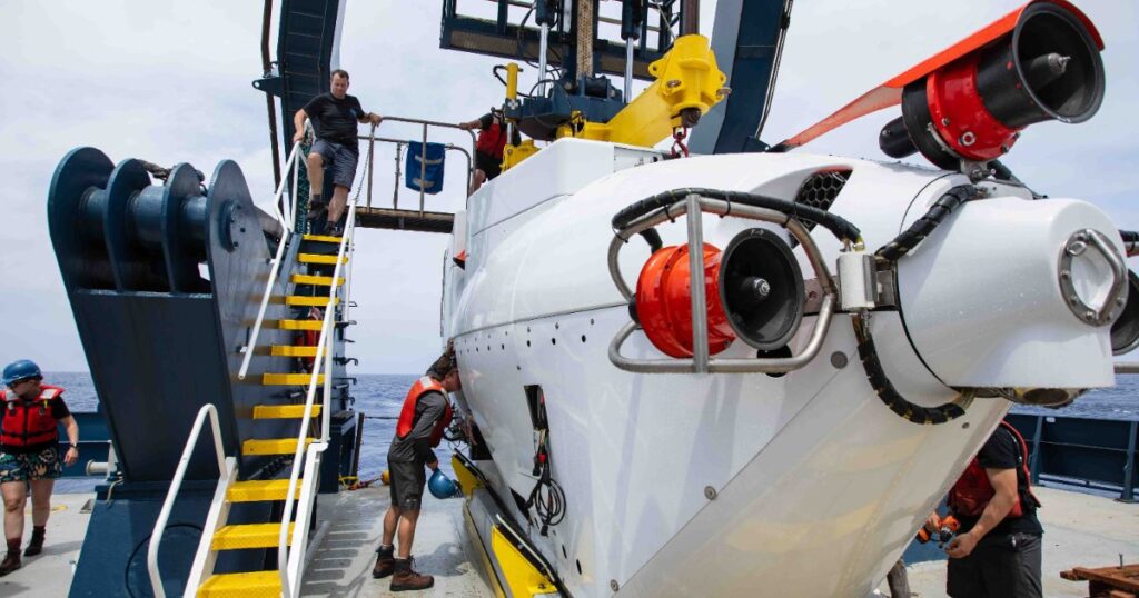
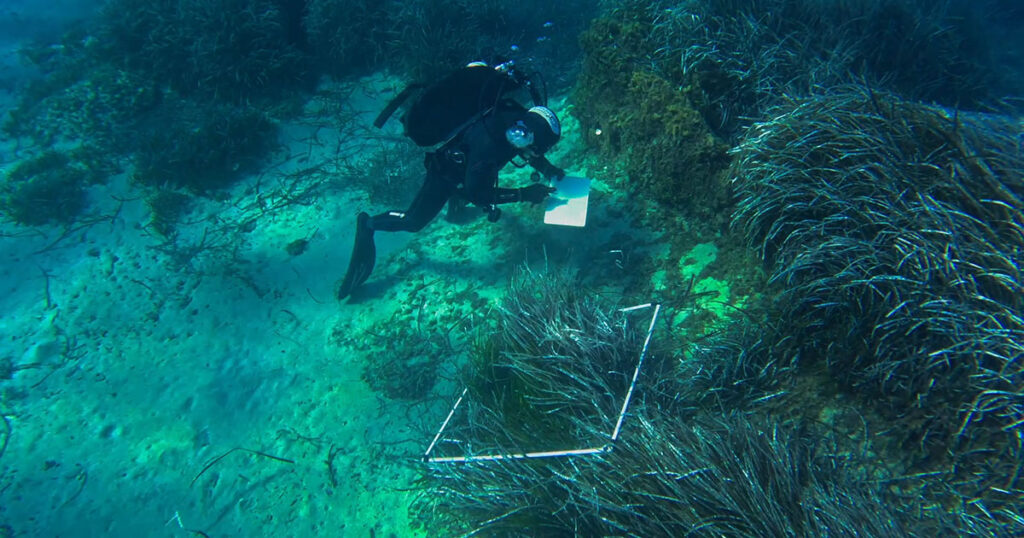
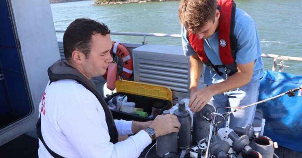
The research was carried out by academics working on the Convex Seascape Survey, a five-year global ocean and climate research program investigating how the seabed and continental shelf seas influence the Earth’s carbon cycle, implemented by Blue Marine Foundation, the University of Exeter and Convex Insurance.
The study shows that even relatively modest changes in sea level, which drive changes to the shape and position of coastlines, can significantly alter the strength and behavior of tides. These shifts affect how tidal energy moves through shelf seas, influencing sediment movement, marine habitats, water quality, coastal hazards and the ability for carbon to settle into seabed sediments in the long term.
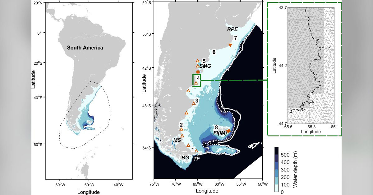
The Patagonian Shelf, off the east coast of South America, is one of the world’s most tidally energetic continental shelves. Yet until now, little was known about how its tides evolved as global sea levels rose following the Last Glacial Maximum, when vast areas of today’s continental shelves were exposed because huge volumes of water were locked up in global ice sheets.
Using updated sea-level reconstructions and high-resolution tidal modeling, the team simulated tidal conditions at 1,000-year intervals from 21,000 years ago to the present day.
They found that tidal energy did not simply increase as the sea rose. Instead, the shelf’s changing shape produced abrupt reorganizations in tidal behavior. The Patagonian Shelf is dominated by the twice-daily tide (M2) driven by the Moon’s gravitational pull. This tidal component reached its peak strength around 10,000 years ago, with energy dissipation around 16 percent higher than today. Another tidal component, O1, was even more sensitive to changing shelf conditions, peaking at around 50 percent above present-day levels around 15,000 years ago.
The research suggests that the Patagonian Shelf is now experiencing some of its most energetic tidal conditions since the last Ice Age, underlining how sensitive coastal seas can be to changes in sea level and coastline configuration.
Dr. Sophie Ward, lead author of the study and a physical oceanographer at Bangor University, said: “Continental shelf seas are dynamic systems, and tides are one of the key forces shaping them. By reconstructing how tides changed across the Patagonian Shelf over thousands of years, we can see that sea-level change can reorganize tidal energy in complex and sometimes abrupt ways.
“This matters because tides influence sediment transport, habitats, coastal evolution and the processes that help lock organic carbon away in the seabed.”
Professor James Scourse, co-author of the study at the University of Exeter and a member of the Convex Seascape Survey, said: “The Convex Seascape Survey is focused on understanding how continental shelf seas function as part of the climate system. This study gives us an important long-term baseline for one of the world’s most energetic shelf environments.
“Looking back 21,000 years helps us understand how sensitive these systems are to sea-level change, and gives us better tools for thinking about how they may respond in the future.”
The findings have wide relevance for scientists studying past environments, archaeological landscapes now submerged by sea-level rise, ecosystem change and the impact of sea-level changes on sediments’ ability to store carbon, which has wider implications for climate change.
The model outputs and derived datasets are openly available, allowing other researchers to use them in future studies of the Patagonian Shelf and comparable shelf-sea environments around the world.
The authors say the results underline the importance of understanding continental shelves not as static seabed areas, but as changing, climate-sensitive systems that have played a major role in ocean and climate processes over geological time.