An international team of researchers departed from Italy aboard the German research vessel MARIA S. MERIAN to investigate the hazards posed by this volcanic field. A particular focus is on the submarine active volcano of Kolumbo, which erupted in 1650 after one year of intense seismicity. The scientists aim to examine how extreme geohazards interact—for instance, how a volcanic eruption could trigger a tsunami. Their findings are expected to improve the long-term safety of coastal regions.
“With expedition MSM132, we are studying one of the most active and hazardous volcanic systems in Europe. The region has a history of numerous eruptions, some of them highly explosive in the past,” explains Chief Scientist Professor Dr. Christian Berndt, a marine geophysicist at GEOMAR Helmholtz Centre for Ocean Research Kiel. “Our goal is to better understand what triggers earthquakes, landslides, and tsunamis. At the same time, we are testing new monitoring systems to help protect the people of the Aegean from these dangers.”
Four central questions guide the researchers:
Can earthquakes trigger landslides?
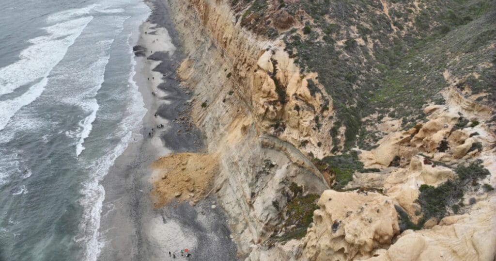
- The researchers are using high-resolution bathymetric maps and seismic measurements to assess whether tectonic movements could destabilize slopes, causing them to collapse.
How does volcanic activity affect the stability of the volcano?
- The team is mapping the intense hydrothermal activity within the Kolumbo crater, where hot water and gases alter the rock. The aim is to identify weak points in the volcanic structure that could lead to potential hazards.
What is the relationship between earthquakes and volcanic eruptions?
- Two- and three-dimensional seismic measurements will investigate how fractures in the rock and volcanic processes influence each other—a crucial step towards understanding potential triggers of extreme events.
How can volcanic activity be detected early?
The researchers are testing an innovative early warning system that uses state-of-the-art seafloor sensors to collect real-time data on earthquakes, ground movements, and volcanic gases. This technology is designed to enable reliable monitoring of submarine volcanoes.
The MSM132 expedition is the first of three planned research cruises as part of the MULTI-MAREX project, which investigates marine extreme events and natural hazards in the Mediterranean region. The project is one of four projects in the third research mission of the German research alliance mareXtreme, funded by the Federal Ministry of Education and Research (BMBF) and the five northern German states.