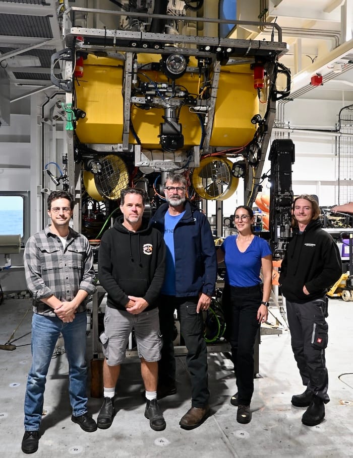
Earlier this month, Principal Engineer Dave Caress led a 10-day expedition aboard MBARI’s flagship research vessel David Packard to conduct high-resolution seafloor surveys with the remotely operated vehicle (ROV) Doc Ricketts.
MBARI’s custom-designed Low-Altitude Survey System (LASS) combines multibeam (sonar) bathymetry, lidar (laser) bathymetry, and stereo photography to visualize the seafloor in remarkable clarity. This sensor suite can image complex geological and biological features of the ocean floor at centimeter-scale resolution.
This expedition marked the first science dives with the LASS sensor suite on ROV Doc Ricketts from R/V David Packard and leveraged several enhancements to this innovative mapping platform, including next-generation lidar optimized for seafloor mapping and a new inertial navigation system for improved wayfinding underwater. MBARI’s CoMPAS Lab is part of the LASS development team, and on this expedition they tested visual SLAM (simultaneous localization and mapping) algorithms and real-time automated animal detection using LASS imagery.
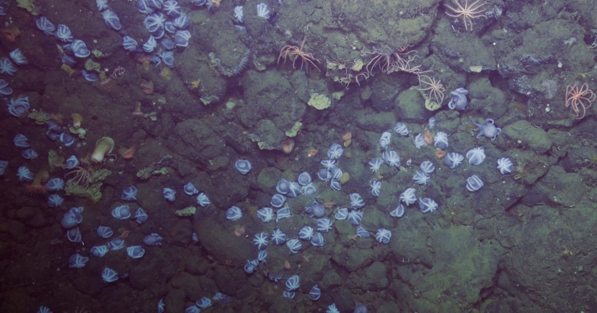
The team conducted four surveys using the LASS sensor suite at the famous Octopus Garden near Davidson Seamount, an inactive underwater volcano offshore of Central California. MBARI researchers have conducted extensive studies at Octopus Garden, revealing that thousands of pearl octopus (Muusoctopus robustus) gather here to nest in warm geothermal springs.
The recent expedition focused on the Octopus Garden Ridge, a location the Seafloor Mapping Lab had surveyed in 2021. During this recent expedition, the team not only repeated their previous surveys to assess changes over time, but also expanded their coverage beyond where the octopus occur to learn more about the influence of this unique biological hotspot on the abyssal seafloor. The data the team collected will help guide an upcoming expedition to Davidson Seamount with MBARI’s Benthic Biology and Ecology Team aboard R/V David Packard on August 3–12.
Working with MBARI’s Seafloor Processes Team via telepresence, the Seafloor Mapping Lab also conducted two surveys at Tubeworm Slump, an MBARI research site on the northern wall of Monterey Canyon, where chemosynthetic clams and tubeworms are burrowing in the steep wall of a rock cliff. MBARI researchers previously surveyed this site with an autonomous underwater vehicle in 2024, but this expedition marked the first high-resolution LASS surveys here. The new centimeter-scale data will help MBARI geologists establish a baseline to assess and monitor bioerosion at this site. The team was impressed with how well the sensor suite performed in visualizing such a complex vertical surface.
This recent expedition aboard our state-of-the-art flagship vessel highlights MBARI’s expanded capacity for ocean exploration, enabling us to deploy innovative technologies to answer fundamental questions about marine life and ecosystems to help resource managers and policymakers protect unique communities of life thriving deep underwater.