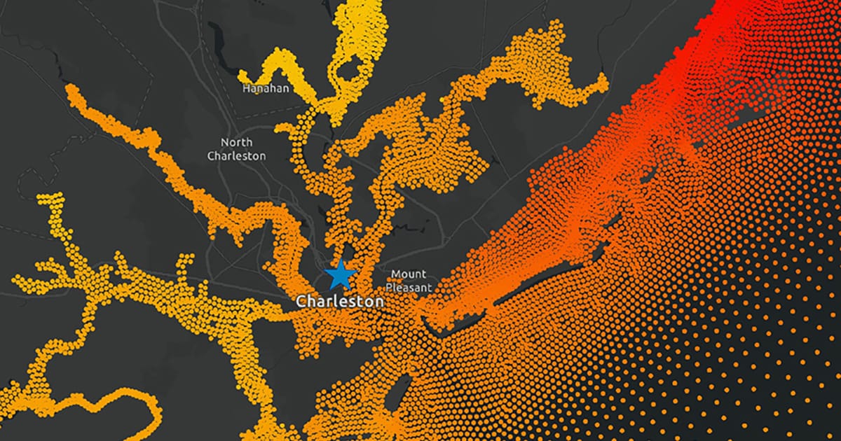
CORA delivers more than 40 years of modeled, historical water level and wave information every 500 meters—or roughly every quarter mile—along the US coast. This long-term water level data was previously only available at NOAA tide gauges, which are largely located near population centers like cities and ports. With the release of CORA, coastal communities between NOAA tide gauges can now access the data needed to make informed decisions about their flood risks.
This new dataset paves the way for delivering monthly high tide flooding predictions every 500 meters along the coast—an advancement that would ensure many more communities have timely information about their flood risks to mitigate potential impacts. The dataset can also inform and support innovations in research, machine learning, and policy-making in a variety of businesses and sectors.
CORA was developed by NOS’s Center for Operational Oceanographic Products and Services, Office for Coastal Management, and Integrated Ocean Observing System. It was also made possible by community-based modeling efforts in partnership with the University of North Carolina’s Renaissance Computing Institute and the University of Hawaii’s Sea Level Center.
Learn more about the Coastal Ocean Reanalysis on the Tides and Currents website and access the data on NOAA’s open cloud platform.