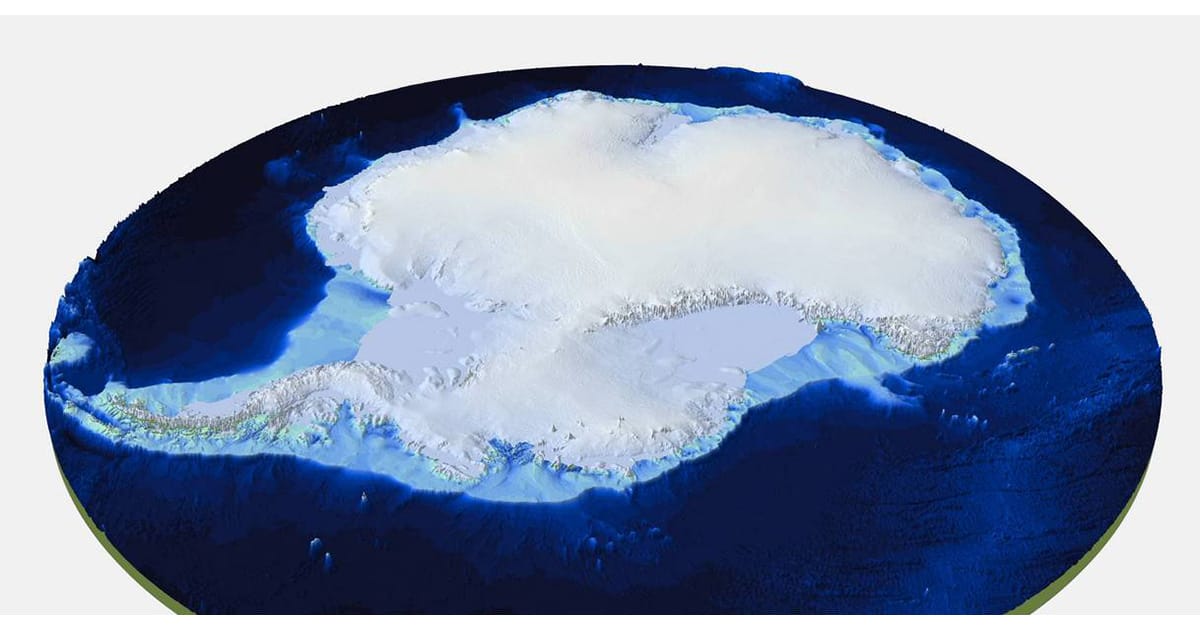
The map gives us a clear view of the white continent as if its 27 million cubic km of ice have been removed, revealing the hidden locations of the tallest mountains and the deepest canyons. One notable revision to the map is the place understood to have the thickest overlying ice. Earlier surveys put this in the Astrolabe Basin, in Adélie Land. However, data reinterpretation reveals it is in an unnamed canyon at 76.052°S, 118.378°E in Wilkes Land. The ice here is 4,757 m thick and therefore about as high as Mont Blanc.
Bedmap3 is now set to become an essential tool in the quest to understand how Antarctica might respond to a warming climate, because it enables scientists to study interactions between the ice sheet and the bed. Scientists from the Alfred Wegener Institute, Hemholtz Centre for Polar and Marine Research (AWI) have contributed important data to the new map, for example from measurement campaigns with the institute’s own polar aircraft Polar 5 and Polar 6.
This press release from the British Antarctic Survey (BAS) provides more information: https://www.bas.ac.uk/media-post/new-map-of-landscape-beneath-antarctica-unveiled/